










Skip to content

Basement Waterproofing & Foundation Repair Service Areas in Lancaster County, PA

All of Lancaster County. Every kind of ground.

Our office is on Harrisburg Pike, which means we are twenty minutes from most of this county and we know what the soil does in each corner of it. Find your town below, or type your ZIP.

47 town pages · 10 more villages covered · one Lancaster crewNot sure? Call (800) 834-6584 →

All of Lancaster County

47 towns

Every town with its own page, plotted from its own ZIP and coloured by the ground beneath it.

North is up. The coverage area runs from Elizabethtown on the western edge to Gap on the eastern edge, about 32 miles, and from Adamstown in the north to Quarryville in the south, about 24 miles. Lancaster, the county seat and the location of the Basement Gurus office, sits at the centre. Limestone valley floor covers the middle of the county, Northern red shale and clay the north-east, Southern schist uplands the south, and Susquehanna river terraces the west.N10 milesDrumore, Drumore Twp — Southern schist uplandsLittle Britain, Little Britain Twp — Southern schist uplandsElizabethtown, Elizabethtown Borough — Susquehanna river terracesManheim, Manheim Borough / Rapho Twp — Limestone valley floorMount Joy, Mount Joy Borough — Susquehanna river terracesMarietta, Marietta Borough — Susquehanna river terracesConestoga, Conestoga Twp — Southern schist uplandsPequea, Conestoga Twp — Southern schist uplandsParadise, Paradise Twp — Limestone valley floorLititz, Lititz Borough / Warwick Twp — Limestone valley floorClay, Clay Twp — Northern red shale and clayGap, Salisbury Twp — Southern schist uplandsChristiana, Christiana Borough — Southern schist uplandsStrasburg, Strasburg Borough — Limestone valley floorBowmansville, Brecknock Twp — Northern red shale and clayAdamstown, Adamstown Borough — Northern red shale and clayLancaster, City of Lancaster — Limestone valley floorColumbia, Columbia Borough — Susquehanna river terracesMountville, Mountville Borough / West Hempfield Twp — Susquehanna river terracesEast Petersburg, East Petersburg Borough — Limestone valley floorBird-in-Hand, Leacock Twp — Limestone valley floorRonks, Leacock / Paradise Twp — Limestone valley floorReinholds, West Cocalico Twp — Northern red shale and clayWillow Street, West Lampeter Twp — Southern schist uplandsLampeter, West Lampeter Twp — Limestone valley floorBrownstown, West Earl Twp — Limestone valley floorRothsville, Warwick Twp — Limestone valley floorLeola, Upper Leacock Twp — Limestone valley floorBareville, Upper Leacock Twp — Limestone valley floorNew Holland, New Holland Borough / Earl Twp — Limestone valley floorBlue Ball, East Earl Twp — Northern red shale and clayTerre Hill, Terre Hill Borough — Northern red shale and clayEast Earl, East Earl Twp — Northern red shale and clayEphrata, Ephrata Borough / Twp — Northern red shale and clayAkron, Akron Borough — Northern red shale and clayQuarryville, Quarryville Borough / Eden Twp — Southern schist uplandsEden, Eden Twp — Southern schist uplandsDenver, Denver Borough / East Cocalico Twp — Northern red shale and clayReamstown, East Cocalico Twp — Northern red shale and clayMillersville, Millersville Borough / Manor Twp — Limestone valley floorRohrerstown, East Hempfield Twp — Limestone valley floorNeffsville, Manheim Twp — Limestone valley floorRoseville, Manheim Twp — Limestone valley floorLandisville, East Hempfield Twp — Limestone valley floorSalunga, East Hempfield Twp — Limestone valley floorIntercourse, Leacock Twp — Limestone valley floorLeacock, Leacock Twp — Limestone valley floor
  • Limestone valley floor · 22
  • Northern red shale and clay · 11
  • Southern schist uplands · 9
  • Susquehanna river terraces · 5
All 47 towns plotted from the centroid of each town’s ZIP code, or from the village itself where it shares a ZIP with a neighbour, on an equirectangular projection centred on 40.0229° N, with longitude corrected by cos(lat) = 0.7658 so the county is not stretched. Marker colour and shape are the ground conditions beneath the town. The dashed field is the area our 47 town pages span — it is not the Lancaster County line. Landisville and Salunga share ZIP 17538 and resolve to the same point; their markers are drawn a few pixels apart so both stay clickable.

Limestone valley floor

22 towns

Conestoga Valley limestone — the fertile, fast-draining floor of the Lancaster plain. Water does not soak through limestone, it runs through it.

Northern red shale and clay

11 towns

Gettysburg red shale and the heavy clays of the Furnace Hills and Cocalico basin. Red shale clay holds water the way a sponge holds water.

Southern schist uplands

9 towns

Piedmont schist and quartzite with shallow bedrock — the hill country below Route 30. There is often only a few feet of soil over rock down here.

Susquehanna river terraces

5 towns

Sand and gravel terraces stepping down to the Susquehanna, with older stone and rubble foundations. The water table here rises and falls with the river.
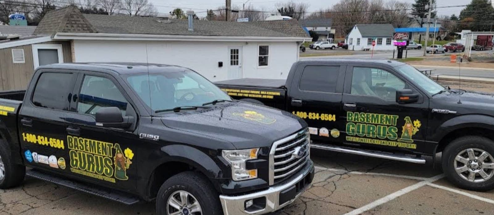
Two Basement Gurus trucks outside the shop

Also serving

Smaller villages and crossroads we cover out of the same office. Call and we will tell you which town page is closest to your ground conditions.

  • Maytown
  • Bainbridge
  • Washington Boro
  • Refton
  • New Providence
  • Gordonville
  • Stevens
  • Brickerville
  • Silver Spring
  • Smoketown

Serving your street today.

Tell us where you are and we will confirm coverage and book your free estimate.

(800) 834-6584